BEGIN 22:50pm JST Wednesday 2 February 2022
I just put all the content below based on entries visible here
content/quests/walk-to-niigata/2021/04/28almost-at-the-trail-we-need-to-take.md
content/quests/walk-to-niigata/2021/04/28day-13-will-likely-be-challenging.md
content/quests/walk-to-niigata/2021/04/28francois--get-down-from-there.md
content/quests/walk-to-niigata/2021/04/28good-morning-day-13.md
content/quests/walk-to-niigata/2021/04/28hard-to-see-but-ladder-ready-to-climb.md
content/quests/walk-to-niigata/2021/04/28highway-17-before-trail.md
content/quests/walk-to-niigata/2021/04/28oops-we-were-only-halfway-when-i-thought-we-were-close.md
content/quests/walk-to-niigata/2021/04/28red-bridge-and-abandoned-trampoline-building.md
content/quests/walk-to-niigata/2021/04/28snow-on-the-trail-and-tunnel-through-the-trees.md
content/quests/walk-to-niigata/2021/04/28this-concrete-block-keeps-the-road-in-place.md
content/quests/walk-to-niigata/2021/04/29omg-i-did-not-know-the-ways-this-trip-would-be-difficult.md
content/quests/walk-to-niigata/2021/04/29past-trail-arriving-at-akashiya-house.md
BUT it seems the post date for some might not match the order in which photos were taken.
The order below is my best guess, but the bestest way would be to check the exif data on the photos, not necessarily including the ones Jason took of me (with his camera, I think), which we can pretty easily establish were taken while on the red bridge.
END 22:50pm JST Wednesday 2 February 2022
date: ‘2021-04-28T09:00:22+09:00’
title: "good morning day 13"
location: 'geo:36.72829,138.87984;u=2000'
Getting started today on day 13 walking toward the trailhead of my entry point over the hills past the tunnel that I can’t go through..
date: ‘2021-04-28T09:08:19+09:00’
title: 'hard to see but ladder ready to climb'
location: 'geo:36.7298,138.87692;u=122.4000015258789'
Oh my gosh there’s a ladder right there across the highway from us but there’s a bunch of cars going by and I don’t think they would understand why I’m climbing this ladder…
Later I decided these ladders are for the monkeys in the area because the concrete walls are hard to climb.
(the black smear in the photo is a car entering the frame)
date: ‘2021-04-28T09:14:16+09:00’
title: 'red bridge and abandoned trampoline building'
Bridge pretty close to Sarugakyo Onsen area
This was taken from the same point I just took the Red bridge picture
916 a.m. approaching the Red bridge
Jason took pics of me on the Red bridge
Built in 1963
Not sure what these are but they sure seen rusty
I’m glad we didn’t go into this abandoned building because I barely made it to my hotel in time for dinner tonight but I did certainly think about going into the building…
I did a few test bounces on the trampoline but it wasn’t strong enough for me to be comfortable doing backflips on it
I wonder what caused the sheet to be lifted up strongly enough to pull these things out of the ground you usually stab it in
date: ‘2021-04-28T09:32:13+09:00’
title: 'François!  get down from there!'
location: 'geo:36.73237,138.86935;u=42.5'

Walking along a telephone line or something I saw a place where François can sit
date: ‘2021-04-28T09:58:47+09:00’
title: 'almost at the trail we need to take'
location: 'geo:36.71806,138.89841;u=3099.9990234375'

Wow. This red flowering tree amazed me with its red flowering flowers.
If I lived near here I wonder how often I would try to climb this wall..
Does walking count as slow?
The numbers keep getting higher. Remember, add like 30km to count from Yokohama.
((( Oh and for the record, we still had 2km to walk before getting to the trail we needed to take. )))
date: ‘2021-04-28T10:20:13+09:00’
title: 'oops we were only halfway when I thought we were close'
location: 'geo:36.73077,138.85625;u=300'
Mountains are getting closer and closer… I guess maybe they’re just tall hills and not really mountains
date: ‘2021-04-28T10:23:52+09:00’
title: 'this concrete block keeps the road in place'
location: 'geo:36.72981,138.87072;u=1600'
This concrete block is keeping the road on the mountain
date: ‘2021-04-28T09:31:39+09:00’
title: 'highway 17 before trail'
Let’s reflect on how this reflector works.
I guess these are to catch snow..
This is where we transferred from highway 17 to walking on the trails around Mitsukuni Tunnel
date: ‘2021-04-28T13:59:00+09:00’
title: 'snow on the trail and tunnel through the trees'
location: 'geo:36.7634,138.82418;u=2200'
Somehow, there’s a little patch of snow un melted on the trail when we haven’t seen any other such patches for some kilometers
And between the trees we can just barely make out the tunnel that we’re walking around
Me at Obansanja Shrine
Standing on the frame near the tunnel entrance
post date: ‘2021-04-29T06:27:50+09:00’
title: 'past trail arriving at akashiya house'
location: 'geo:36.78711,138.79841;u=1899.9990234375'
Plan for Day 13:
- Day Thirteen
(Wednesday April 28th *)
1 part:
Walk 14km, From Sports Inn Fujiya To Family House Akashiya (217km walked so far)
Will use:
Will not use:
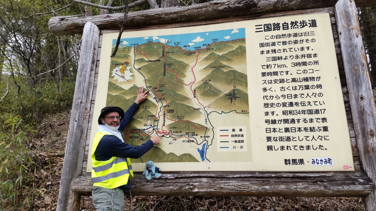
Notice the tunnels on Highway 17 (Mikuni Highway), south of Obansanja Shrine. Along 17, I will take a trail starting here, hike around the tunnels, past Obansanja Shrine, and finish the trail here.
You may notice there is another tunnel looking thing, but it has a sidewalk next to it.


